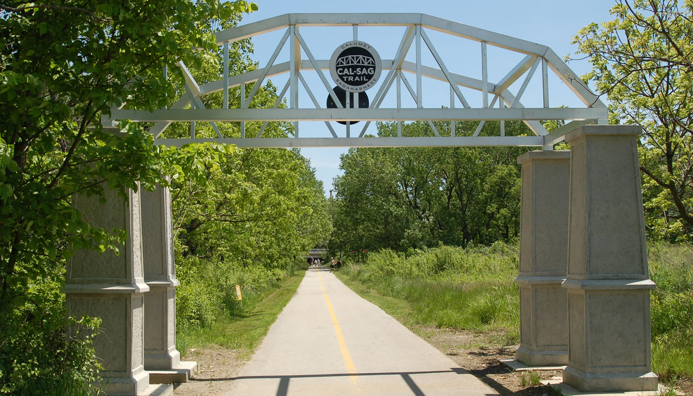
The Cal-Sag Trail will eventually stretch 26 miles from Sag Quarries in Lemont to the Burnham Greenway near the Indiana border. The first 13 miles opened in June 2015.
On this page:
Overview & Maps
Cal-Sag Trail
Location: Alsip, Blue Island, Calumet City, Dolton, Lemont, Palos Heights, & Riverdale
Surface
PavedEstimated Total Length
26.8 milesHours
Year-round: Sunrise to SunsetClosures & Alerts
Trail Access
Access the Cal-Sag Trail at any of these locations (ordered from West to East). Check out the trail maps above to find on-street or bikeway access points.
Cal-Sag Parking
(owned by Village of Palos Park)
IL-83 & S 86th Ave
Palos Park, IL 60465
Lake Katherine Nature Center
(owned by City of Palos Heights)
7402 Lake Katherine Dr
Palos Heights, IL 60463
Freedom Park
(owned by Alsip Park District)
131st St & Cicero Ave
Alsip, IL 60803
*The eastern portion of the trail is not complete. Only a small portion of the trail is accessible at this location.